Skip to content
SurenoGet Sureno
The planet

Earth, this week

The ground, the fires and storms, the air, and a photograph from a million miles away. The longer maps are on Live and Explore, including carbon dioxide, sea ice and rivers.

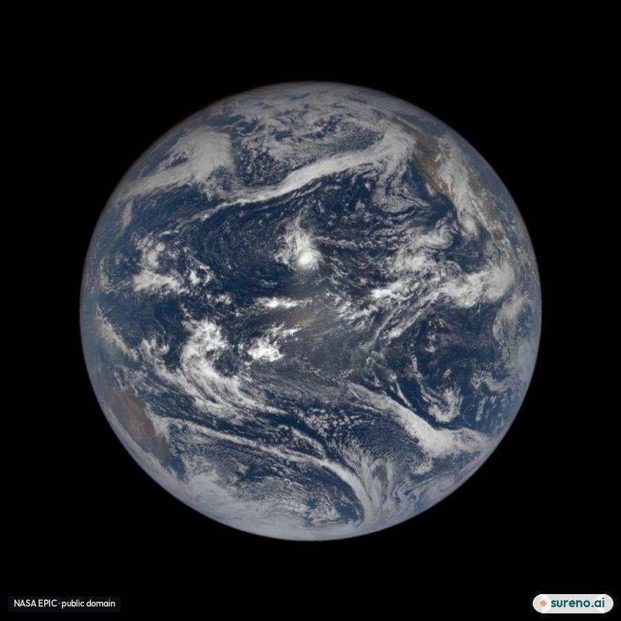
The sunlit face of Earth, photographed by NASA's EPIC camera
NASA EPIC camera on the NOAA DSCOVR satellite, September 28, 2026 at 22:26 UTC. Public domain. NASA EPIC

From space

The sunlit Earth

This is the sunlit face of Earth, taken September 28, 2026 at 22:26 UTC by NASA's EPIC camera on the DSCOVR satellite. It sits about a million miles toward the Sun, so it sees the whole day side at once. The middle of this frame is near 5.1° north, 162.0° west.

Aerial photograph of the San Andreas Fault crossing the Carrizo Plain
The San Andreas Fault across the Carrizo Plain. Photograph by John Wiley. Wikimedia Commons · CC BY 3.0

This week

Earthquakes

The US Geological Survey lists 118 earthquakes of magnitude 4.5 or more in the last seven days. The newest is magnitude 4.7, 75 km NNE of Yonakuni, Japan, 2 hours ago. The strongest is magnitude 5.9, 39 km WSW of Tambolaka, Indonesia. Most of the rest are far out at sea or deep underground.

Firefighters carrying out a burnout on the Mangum Fire in 2020
A burnout on the Mangum Fire, 2020. Mike McMillan, U.S. Forest Service. Public domain. Not a fire happening today. Wikimedia Commons

Right now

Fires and storms

NASA is tracking 41 open wildfires and 8 severe storms. The newest fire is SAN FRANCISCO 2, Starr, Texas, reported 5 days ago. The newest storm is Super Typhoon Choi-wan, reported 15 hours ago.

Data: NASA (public domain); US Geological Survey (public domain); NASA EONET (public domain). Photographs are credited under each picture.

More news

Loading more stories…