

Storm warnings: Melbourne, Canberra, Sydney and Brisbane brace as cold front packs a punch
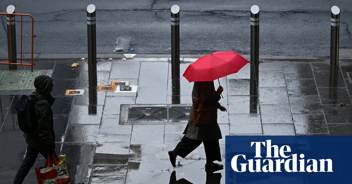
Storms move across eastern Australia
Warnings cover several capital cities in the country’s east and south-east as a severe front crosses the region. It is expected to head towards Canberra and inland NSW before reaching the coast on Sunday, with its reach extending into southern Queensland.
The Bureau of Meteorology says some locations could experience flash flooding. Winds above 125km/h may topple large trees or damage property, the agency warned.
Victoria faces damaging winds
Melbourne, parts of Gippsland, the north-eastern ranges and north-central Victoria are among the areas forecast to be affected. Damaging winds are the main concern, alongside heavy rain and large hailstones.
BoM meteorologist Angus Hines described a later band of storms as one that could “pack a punch” on Saturday. A separate severe wind warning covers the mountains of northern Victoria and southern NSW, where gusts above 100km/h were recorded Saturday morning.
NSW and Queensland risks Sunday
The forecast concern shifts north on Sunday, with storms and heavy rain possible around Brisbane during the afternoon and early evening. Severe thunderstorms are also considered most likely across parts of the NSW mid-north coast, northern rivers, tablelands and Hunter region.
Those NSW areas could see hail, intense rainfall, flash flooding and destructive winds exceeding 125km/h. Hines urged people in the forecast area to monitor radar for approaching storms.
Key points
- Storm risks extend across Victoria, NSW and parts of Queensland into Sunday.
- Melbourne and nearby Victorian districts face damaging winds, heavy rain and possible large hail.
- Brisbane may see storms during Sunday afternoon and early evening.
- Some storms could bring flash flooding and winds above 125km/h.