
Morning
Lower Yosemite Fall Trail
Yosemite Valley
Take the short, mostly paved path to the base of the waterfall; check current conditions before setting out.
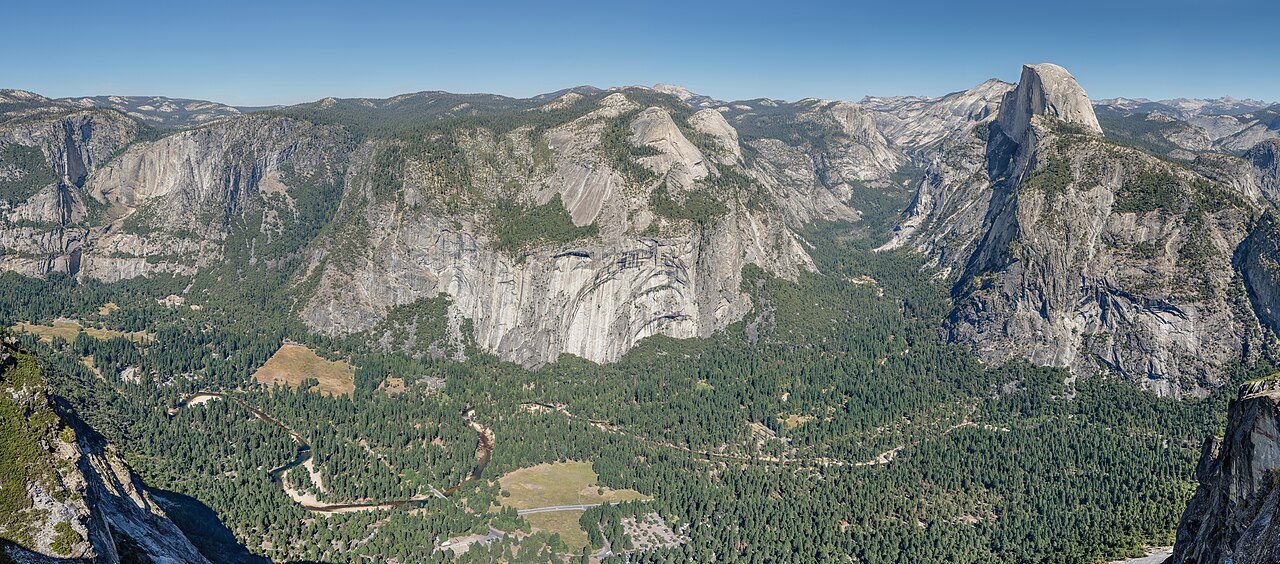
A relaxed first visit focused on Yosemite Valley, with time for waterfalls, famous views, and a giant sequoia grove. Distances are large, so plan around current park access and road conditions.
The most comfortable months for walking about are June, July, August and September: mild days and less rain. The warmest month is July, at about 75°F (24°C) in the afternoon. The wettest is December.
Bars show the typical night-time low to daytime high; the numbers are daytime highs in °F and rain in millimetres for the month. Averages for 2001–2020 from NASA POWER, so a given year can be warmer, colder or wetter.
Written with AI from public facts about Yosemite, then checked by Sureno's rules. Opening times and prices change: check them before you go.
Yosemite Valley
Take the short, mostly paved path to the base of the waterfall; check current conditions before setting out.

Wawona Road
Enjoy the classic view of Yosemite Valley, El Capitan, and Bridalveil Fall from the overlook.

Yosemite Valley
Have a relaxed meal at the lodge and rest after exploring the valley.

Yosemite Valley
Stop for an easy roadside view of the Merced River and valley cliffs.
Yosemite Valley
Follow the flat meadow paths for open views of Half Dome and Yosemite Falls.

Yosemite Valley
Choose a casual meal in a central valley setting.

Wawona
See giant sequoias on a route suited to your energy; trail access and shuttle service vary by season.

Wawona
If conditions and energy allow, enjoy a longer walk to a broad forest view; otherwise take a relaxed break in Wawona.
Wawona
Have dinner in a historic setting, after checking current service details.
Yosemite National Park is a national park of the United States in California. It is bordered on the southeast by the Sierra National Forest and on the northwest by Stanislaus National Forest. The park is managed by the National Park Service and covers 1,187 mi2 (3,070 km2) in four counties – centered in Tuolumne and Mariposa, extending north and east to Mono and south to Madera. Designated a World Heritage Site in 1984, Yosemite is internationally recognized for its granite cliffs, waterfalls, clear streams, groves of giant sequoia, lakes, mountains, meadows, glaciers, and biological diversit…
From Wikipedia (CC BY-SA 4.0).
Photos: Wikimedia Commons, credited on each picture. Climate: NASA POWER (public domain). Introduction: Wikipedia (CC BY-SA). The plan was written with AI from those public facts.


