

How High Tech Drones Reveal Long Hidden Aboriginal Rock Art Shelters in Australia
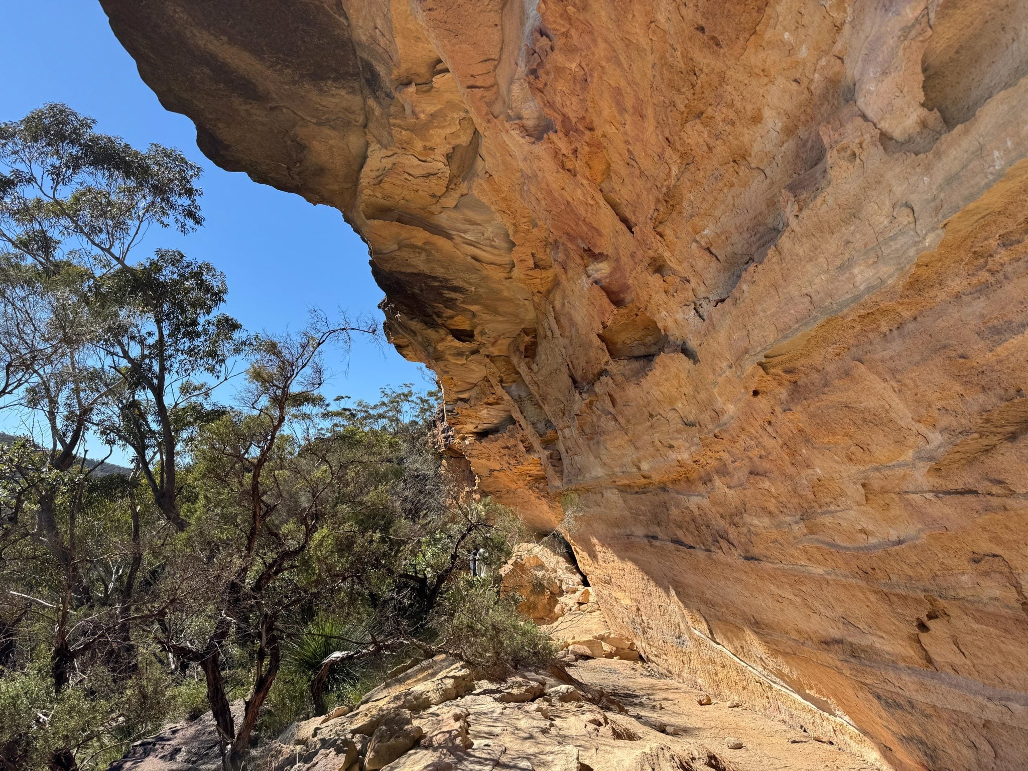
Searching beneath bushland
More than 200 rock shelters with cultural and archaeological evidence have been recorded in the region, but only an estimated 10 percent has been surveyed, according to University of Sydney and Australian Museum research archaeologist Amy Mosig Way. Researchers from both institutions worked with the Dharug Custodian Aboriginal Corporation to narrow the search. Their drones used LiDAR, which sends laser pulses to create three-dimensional landscape maps and reveal features obscured by trees and bushland.
Field teams verify sites
After the aerial surveys identified possible shelters, Way led students and volunteers into the field to check locations and look for cultural material. The teams confirmed six registered shelters and found three that had not previously been registered.
Knowledge and technology together
The surveys are part of the Gulamada Project, co-directed by Way and University of Sydney Indigenous rock art expert Wayne Brennan. The project brings scientific and First Nations cultural knowledge together to understand and care for Country; Brennan and Erin Wilkins of the Dharug Custodian Aboriginal Corporation led rock art recording at confirmed shelters.
The team says the method can cover challenging terrain more quickly than traditional ground surveys. Used with existing knowledge and cultural practices, it could help communities locate and manage sites before development, erosion, bushfires or other threats affect them.
Susan Templeman, Federal Member for Macquarie, said the project shows the value of combining First Nations knowledge and new technology. She said the Australian Government’s First Nations Heritage Grants program supports Gulamada in the Blue Mountains.
Key points
- Drone-mounted LiDAR helped locate three previously unregistered Aboriginal rock art shelters in the Blue Mountains.
- Field teams confirmed six registered shelters and recorded stone artifacts and red hand stencils at the newly identified sites.
- The project combines scientific methods with First Nations cultural knowledge to care for Country.
- Researchers say faster surveys could help communities document sites before development, erosion or bushfires threaten them.